
UTM MGRS Finder APK download for Android. UTM MGRS Finder V.42

UTM MGRS Finder
Download APK
(79.4 MB)
Screenshot
Description
Content
UTM MGRS Finder V.42
UTM MGRS Finder: A Comprehensive GuideIntroduction
UTM MGRS Finder is a user-friendly tool designed to simplify the process of determining Universal Transverse Mercator (UTM) and Military Grid Reference System (MGRS) coordinates. These coordinate systems are widely used in navigation, surveying, and military operations. UTM MGRS Finder provides accurate and reliable coordinates, making it an essential tool for professionals and outdoor enthusiasts alike.
Features and Functionality
UTM MGRS Finder offers a range of features that enhance its usability and accuracy:
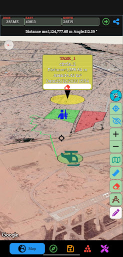
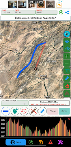
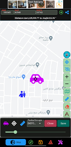
* Interactive Map Interface: The tool features an interactive map that allows users to zoom in and out, pan, and click on specific locations to obtain coordinates.
* Coordinate Conversion: UTM MGRS Finder can convert between UTM and MGRS coordinates, making it easy to work with both systems.
* Precision Control: Users can specify the desired precision of the coordinates, ensuring they meet the required accuracy for their application.
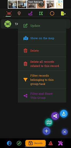
* Coordinate Export: The tool allows users to export coordinates in a variety of formats, including text, CSV, and KML.
* Offline Mode: UTM MGRS Finder can be used offline, providing access to coordinates even in areas without internet connectivity.
Accuracy and Reliability
UTM MGRS Finder utilizes high-quality geospatial data and algorithms to ensure the accuracy and reliability of the coordinates it provides. The tool is constantly updated with the latest data to maintain its precision.
Applications
UTM MGRS Finder finds applications in various fields, including:
* Navigation: Determining coordinates for hiking, camping, and other outdoor activities.
* Surveying: Establishing boundary lines, measuring distances, and creating maps.
* Military Operations: Planning maneuvers, coordinating logistics, and targeting.
* Emergency Response: Providing accurate location information for search and rescue operations.
* Environmental Monitoring: Tracking the location of environmental assets and monitoring changes over time.
Ease of Use
UTM MGRS Finder is designed to be intuitive and easy to use, even for beginners. The user interface is straightforward, with clear instructions and helpful tooltips. The interactive map makes it easy to navigate and select locations.
Conclusion
UTM MGRS Finder is a valuable tool for anyone who needs to determine UTM or MGRS coordinates. Its accuracy, reliability, and ease of use make it an indispensable resource for professionals and outdoor enthusiasts alike. Whether you are navigating a hiking trail, conducting a survey, or planning a military operation, UTM MGRS Finder provides the precise and reliable coordinates you need.
Information
Version
55
Release date
Jul 20 2015
File size
79.4 MB
Category
Maps&Navigation
Requires Android
7.0 and up
Developer
GVN Apps
Installs
10K+
ID
com.apps.utmfinder
Available on